Who we are
Inventa is IT, GIS and Web Solutions Company based in Belgrade, Serbia. We are delivering superior returns to our clients, through cost-effective, high-value services. Inventa's core portfolio comprises information technology and business process outsourcing services, as well as information technology transformation services, comprehensive engineering of data reprocessing, legacy data integration, integrated and web-based GIS, comprehensive CAD/GIS conversion services, georeferencing of image and vector data, website design and maintenance, PSD to HTML, ASP and PHP developement, XML web services, IVR systems and much more.
What we do
Inventa delivers custom applications and enterprise solutions based on client's needs primarily in area of Web, GIS and IVR services. Whether you are a local government, a small business, or already have an enterprise system, we can help. Understanding your needs is our first priority. 1. Whether your needs are as small as a single web designer, or as large as a multi-functional software web development team, Inventa has the ability to meet your requirements. 2. Inventa offers GIS services in land and property management; environmental, planning, and facility management. Also, we have vast experience in helping organizations and municipalities to empower their integrated GIS solutions and publish them on the Web. 3. We can provide your organization with reliable and time-tested solutions in area of IVR and Computer Telephony Integration. Contact us to learn more about our services
GIS:
Inventa is specialized in GIS services including: GIS conversion, GIS mapping, digital image processing, vectorization of survey maps, digitization of urban development and zoning plans (zoning, networks, planning regulations), utility mapping, GIS based application development, conversion of manual maps to GIS etc. Our GIS services include:
- Map digitization services
- GIS map data creation
- Utility mapping
- Contour mapping
- Topographic mapping
- Geo-rectification and geo-coding services.
- Raster editing
- GIS data conversion & analysis
- GIS based custom application development
- Paper/image documents conversion into dimensionally accurate GIS files
Industries served:
- Local municipalities
- INFRASTRUCTURE: Traffic networks, Waterworks, Telecom, Electricity, Oil and Gas
- Ecology
- Real Estate
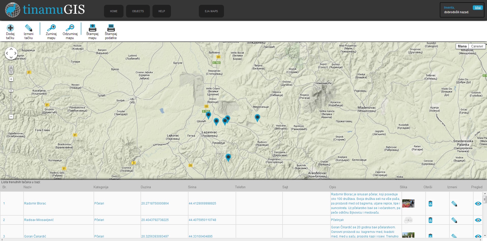
With Tinamu and Eja maps for desktop and android, we offer our clients a complete location service.
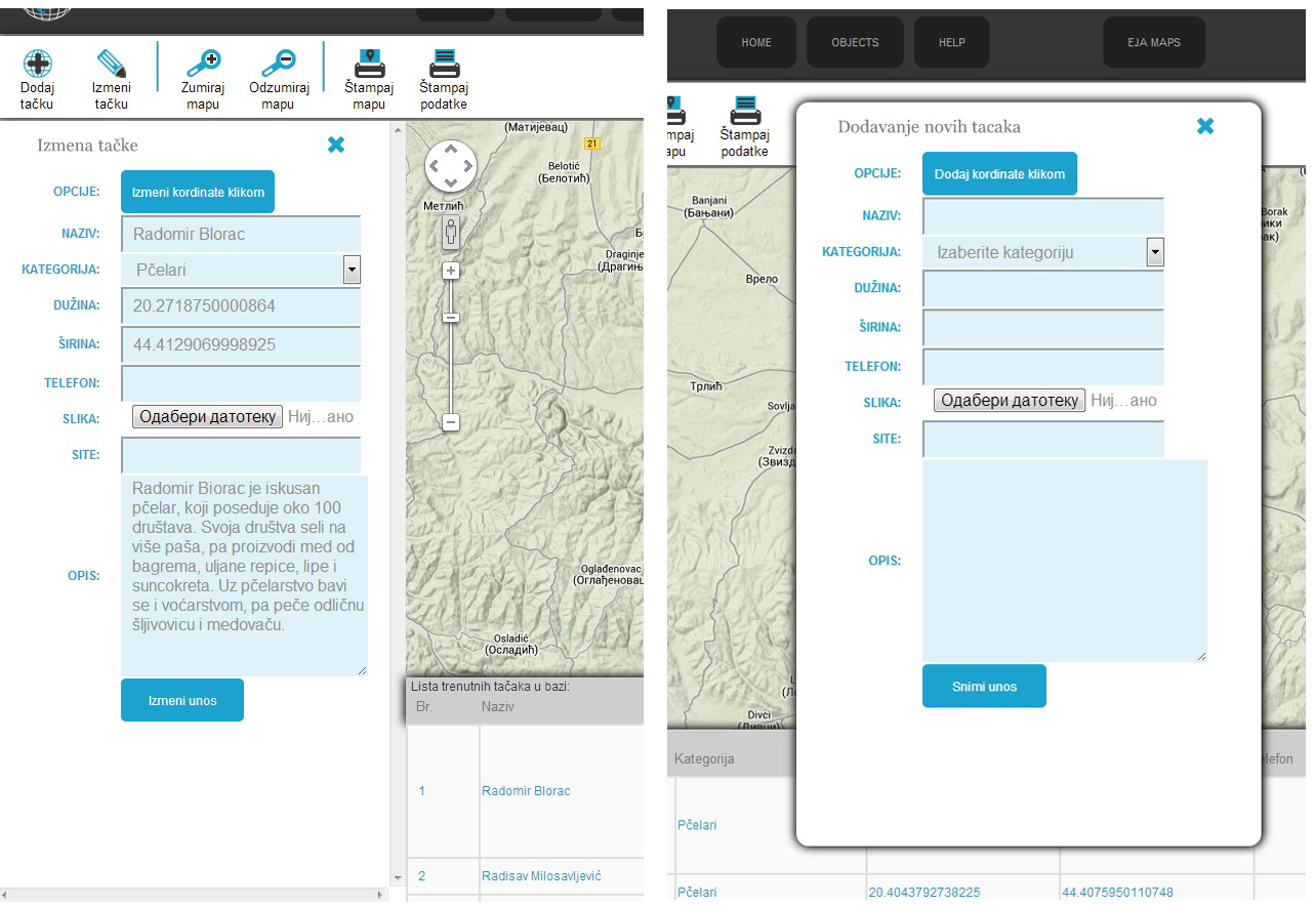
It all starts with an open source database, Postgre SQL, and its PostGIS extension. Tinamu comes with a browser form for populating database and includes a map for adding and editing geographic elements.
We offer clients a possibility to design the database module by themselves or let us do it for them. Custom designed module ensures maximum productivity with all the benefits of spatial database intact.
This kind of data is in accordance with OGC standards and can be used in any modern GIS tool like GrassGis, QuantumGIS, Udig... It can also be used in any commercial GIS platforms like MapInfo, Esri, Autocad MAP...
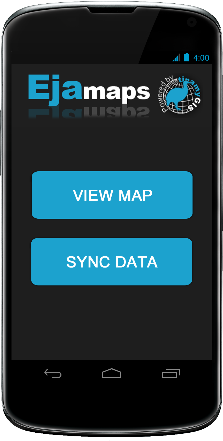
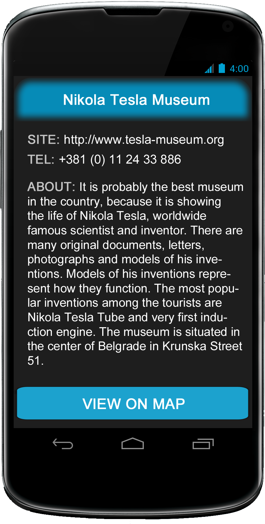
Our applications for hand-held android devices communicate with central database while in the field while taking GPS coordinates and geo-referenced images. Eja for android is a touch screen optimized app for viewing and analyzing maps, with or without referencing to current GPS position. Tinamu-android populates the database, taking gps position and geo-referenced images or videos. Media files are stored on the main hard drive, some mailbox or in the cloud.
Our database is ready for viewing and analyzing in any WEB browser through our Eja GIS server, but it is also ready for using in a dedicated GIS environment like QuantumGIS. The user has the choice of going as deep as possible with GIS analyzes or sticking to basics, which is just fine for many.
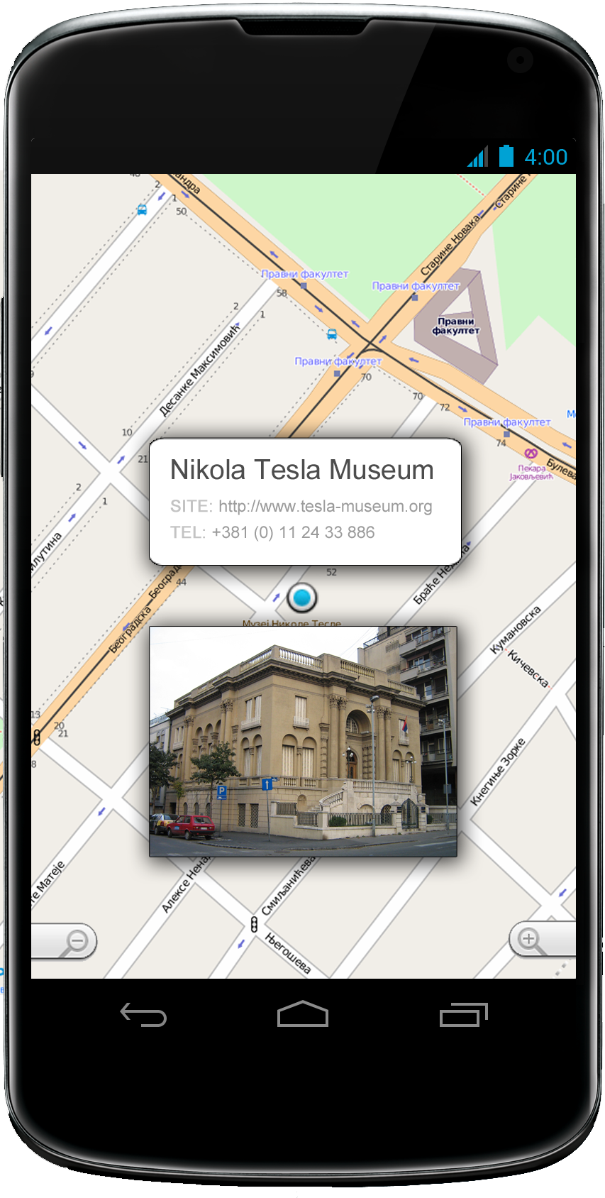
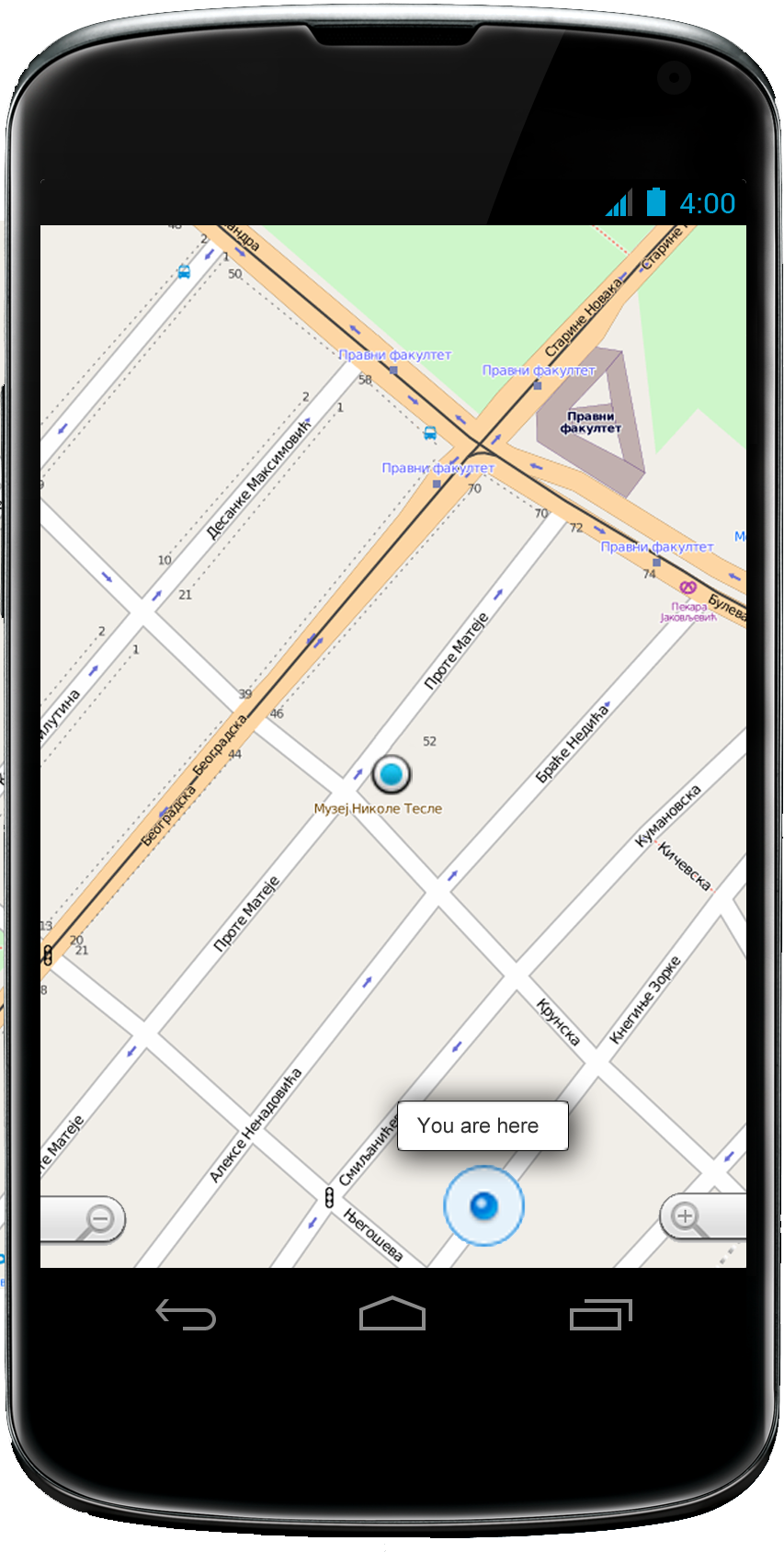
Android application

Our system has all that you need
With basic packet you will get:
- tinamu GIS - A database server with client control and browser form with a map, for populating central GIS database of client specified module.
- Eja Android - A touch screen adapted application for map exploring and analysis featuring online and OFFLINE mode.
- Professional Training - Training course for your employees: fundamental concepts of GIS, working with spatial data (upload/ download, edit, export/import, etc.) visualization and analysis.
Contact us
Inventa d.o.o
Address:Vidikovački venac 35,
11000 Beograd
Tel: 011/2337-778
E-mail: Contact us!