A complete location service tailored to your needs.
What is Pitney Bowes Map Info ProThe world’s premier desktop and mapping application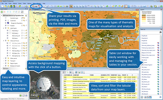
Discover new opportunities with MapInfo Pro, a powerful mapping and geographic analysis application designed to show the relationship between data and geography in a more visual way. See patterns and trends more easily with detailed maps and graphics, enabling you to make more informed decisions and capitalize on untapped business opportunities. Easy to learn, easy to use!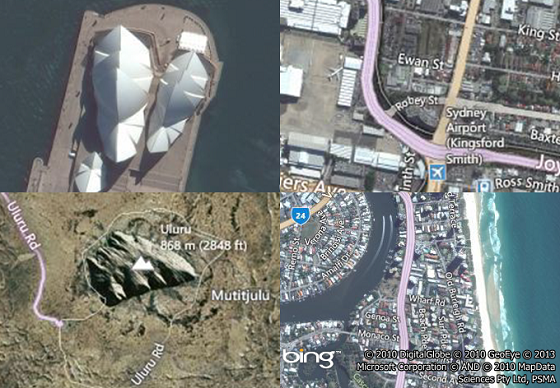
MapInfo Pro is extremely flexible and can be easily integrated with your current IT systems. It is also extremely user-friendly so you don’t need to be an IT expert to use it. Comprehensive Data Compatibility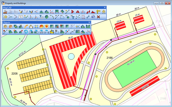
MapInfo Pro supports a range of data formats including many common PC file formats (such as Microsoft Excel, Access, DBF and CSV files), relational and spatial database formats (Oracle, Microsoft SQL Server, PostGIS, SQLite and ODBC compliant databases), and spatial data formats (AutoCAD DXF/DWG, SHP, DGN and more).You can also use imagery (aerial images, satellite images, scanned paper maps, etc.) of almost any format in your maps. And MapInfo Pro includes access to Microsoft Bing aerial and hybrid maps as part of your software maintenance agreement. |
Flexible map display and visualisation options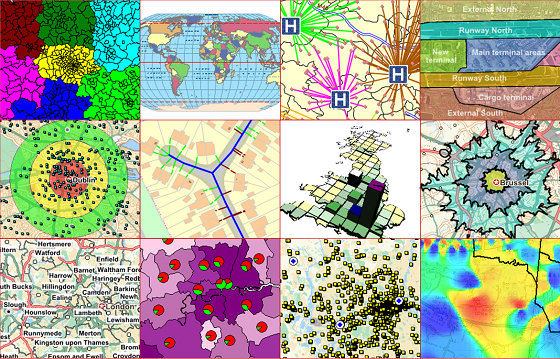
MapInfo Pro simple-to-use map display wizards and detailed customization options allow users of all skill levels to create great looking maps quickly. Load image datasets as background mapping and overlay your point, line and polygon data to visualize your data in the way you want. Change the style and appearance of any dataset using our powerful analytical processes and display customization techniques. You can also aggregate values using statistical or any mathematical functions to associate a symbol or color to a point or a region based on a calculated value. For example, view your sales territories according to the number of customers in each area. Share your results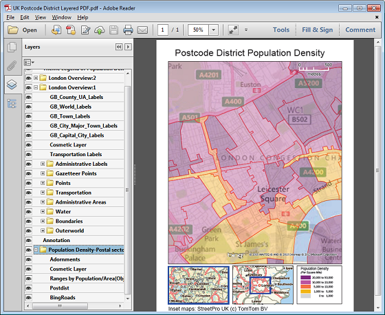
MapInfo Pro makes communicating your results easy, thanks to its wide range of data sharing and publishing options. Print or publish maps of any size with legends and charts through simple-to-use wizards so you can share your results with everyone you need to. For sharing data you can save or export it to many commonly used formats. A complete suite to meet your needs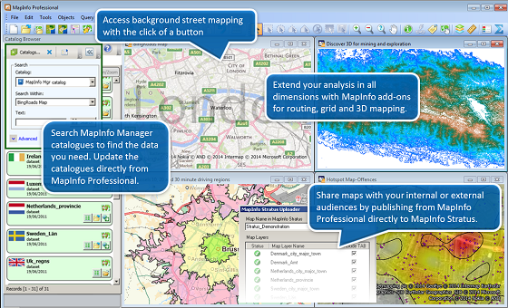
MapInfo Pro is part of the MapInfo GIS Suite, a comprehensive set of integrated offerings including desktop, server, web and data products. As your requirements grow, your MapInfo solution has the power to grow with you. |
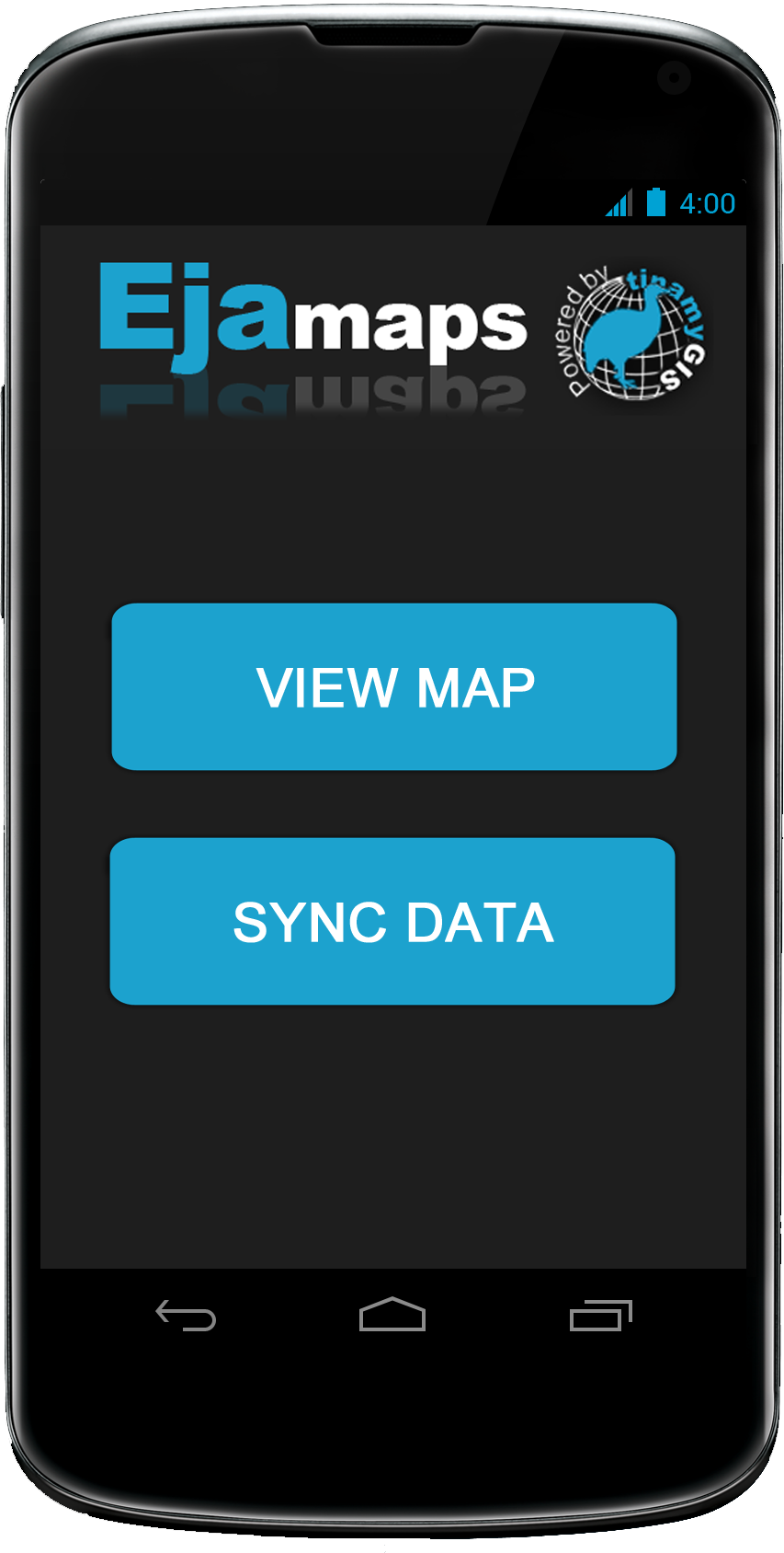
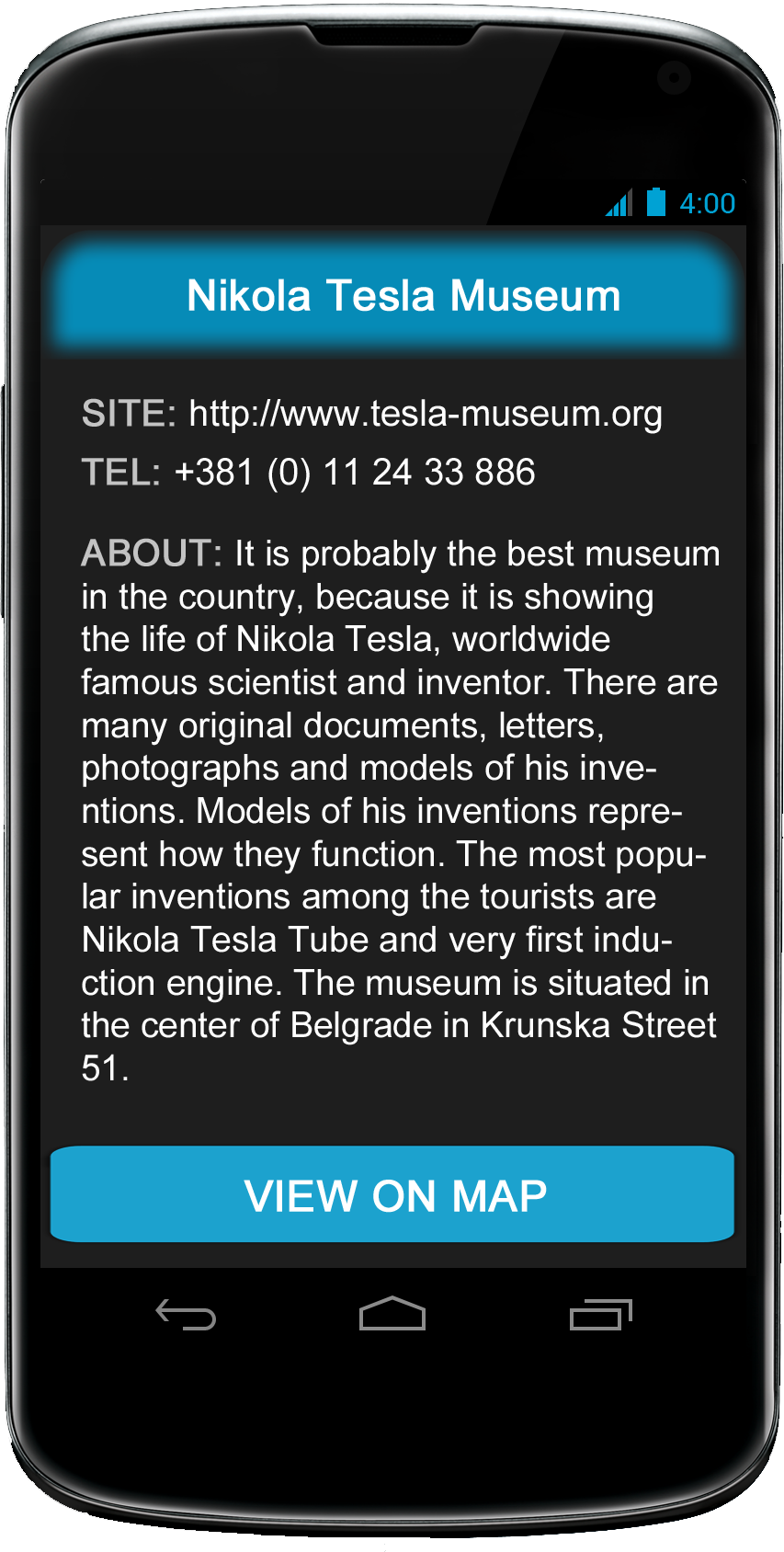
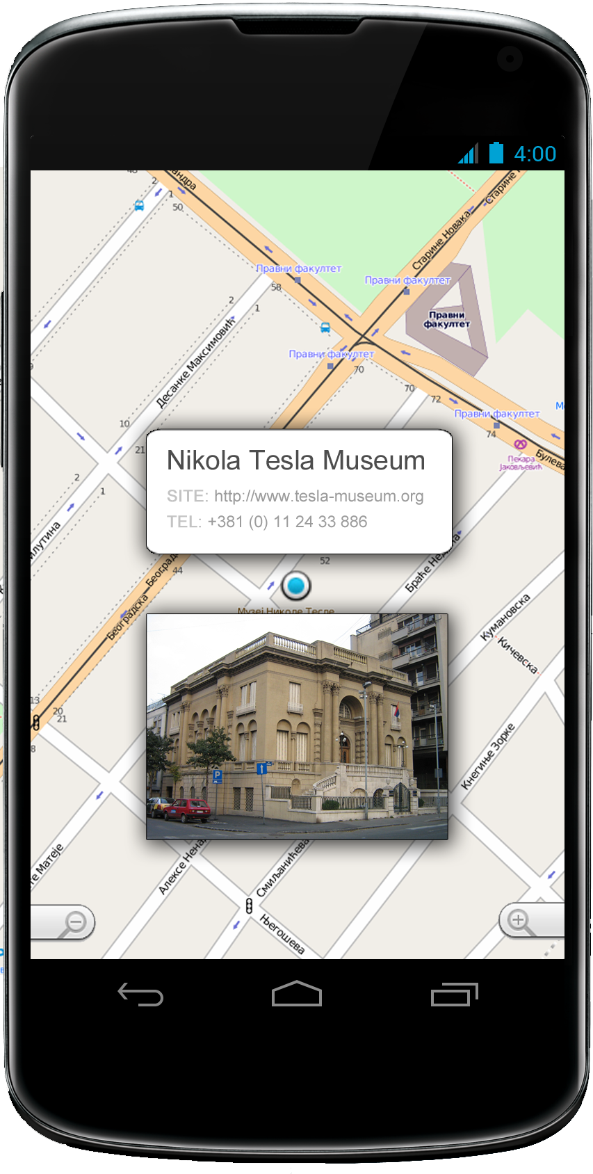
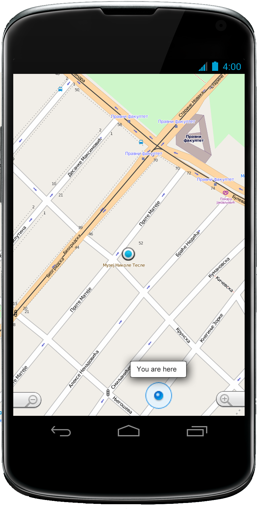
Android application

Our system has all that you need
With basic packet you will get:
- tinamu GIS - A database server with client control and browser form with a map, for populating central GIS database of client specified module.
- MapInfo - The world’s premier desktop and mapping application
- Eja Android - A touch screen adapted application for map exploring and analysis featuring online and OFFLINE mode.
- Professional Training - Training course for your employees: fundamental concepts of GIS, working with spatial data (upload/ download, edit, export/import, etc.) visualization and analysis.
Contact us
Inventa d.o.o
Address:Vidikovački venac 35,
11000 Beograd
Tel: 011/2337-778
E-mail: office@inventa.rs