Eja maps

Eja maps is a mobile database CRUD app with GIS component. Along with alphanumeric database listing, search and entry, users can add and query data geospatially.

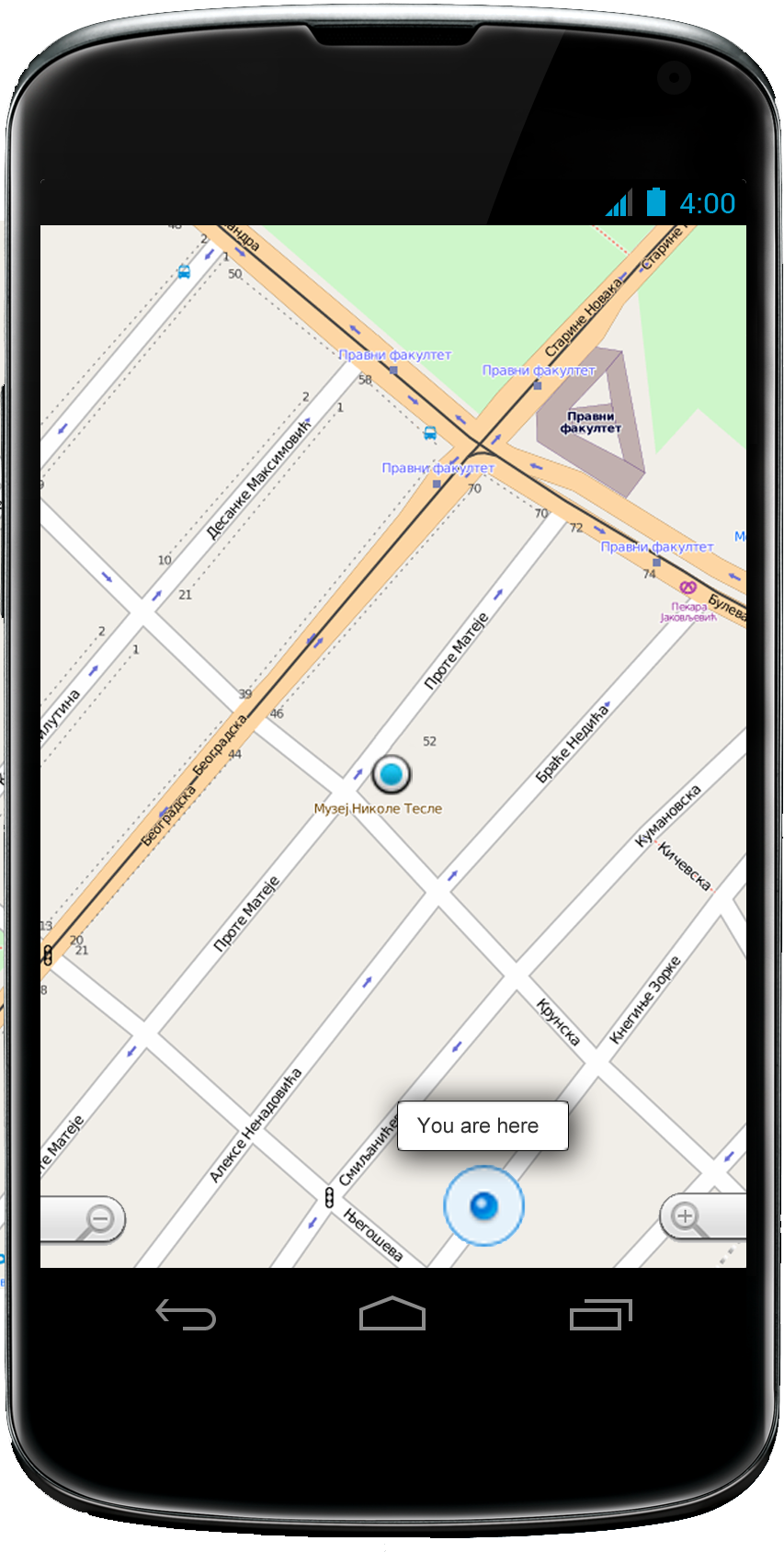
The application takes location input from the device's sensors. This input is used for data entry and location-based queries which lets users list entries that are in proximity to the current geospatial location. In case of internet unavailability or connection issues, the application can postpone data syncing.

The application offers to georeference any new entry. Users can also choose to manually enter the location of the new feature.

The file management component of the application lets users list and add various file types, including multimedia types. Along with feature description and alphanumeric database entries, the app offers a collage of images or video materials that are georeferenced and placed over a base map.
Eja is an effective mobile geodirectory.